A GIS Platform You Can Shape, Extend, and Keep Evolving
QWC is designed as a platform rather than a fixed application. It can be adapted to local workflows, integrated with existing systems, and extended over time without forcing every client into the same interface or release path.
Tailored Workflows
Adapt tools, menus, and views to the workflows users actually need.
- Role-based interface setup
- Custom styling and forms
- Task-focused user experience
Extend Functionality
Extend QWC with plugins and custom tools while keeping the core stable.
- Plugin-based extensions
- Project-specific tools
- Maintainable custom logic
System Integration
Connect the client to existing services, APIs, and enterprise systems.
- Standards-based services
- Existing auth and data reuse
- API-driven integration
Scalable Growth
Start focused and expand over time without replacing the platform.
- Modular growth path
- Structured configuration
- Open standards foundation
Case Studies
These examples show how QWC can support both focused technical workflows and complex municipal deployments without forcing the same interface on every project.
Fixpunkte - FPDS2
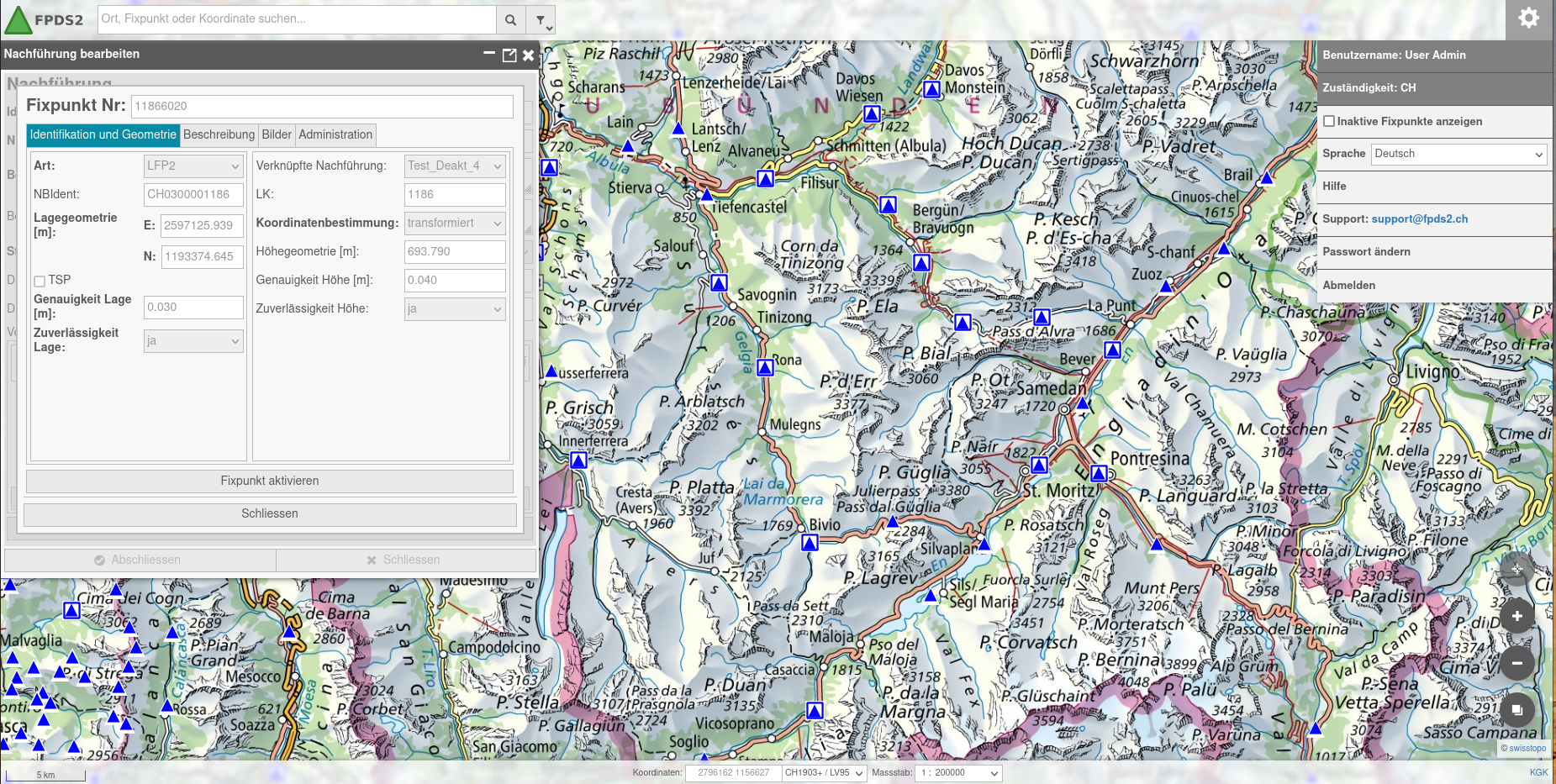
A specialized technical viewer for Swiss fixed-point data, built to support precise access to reference information through a focused and efficient interface.
- Tailored to a domain-specific workflow instead of a generic public map portal.
- Presents structured geospatial information clearly for expert users.
- Shows how QWC can be shaped into a focused professional application.
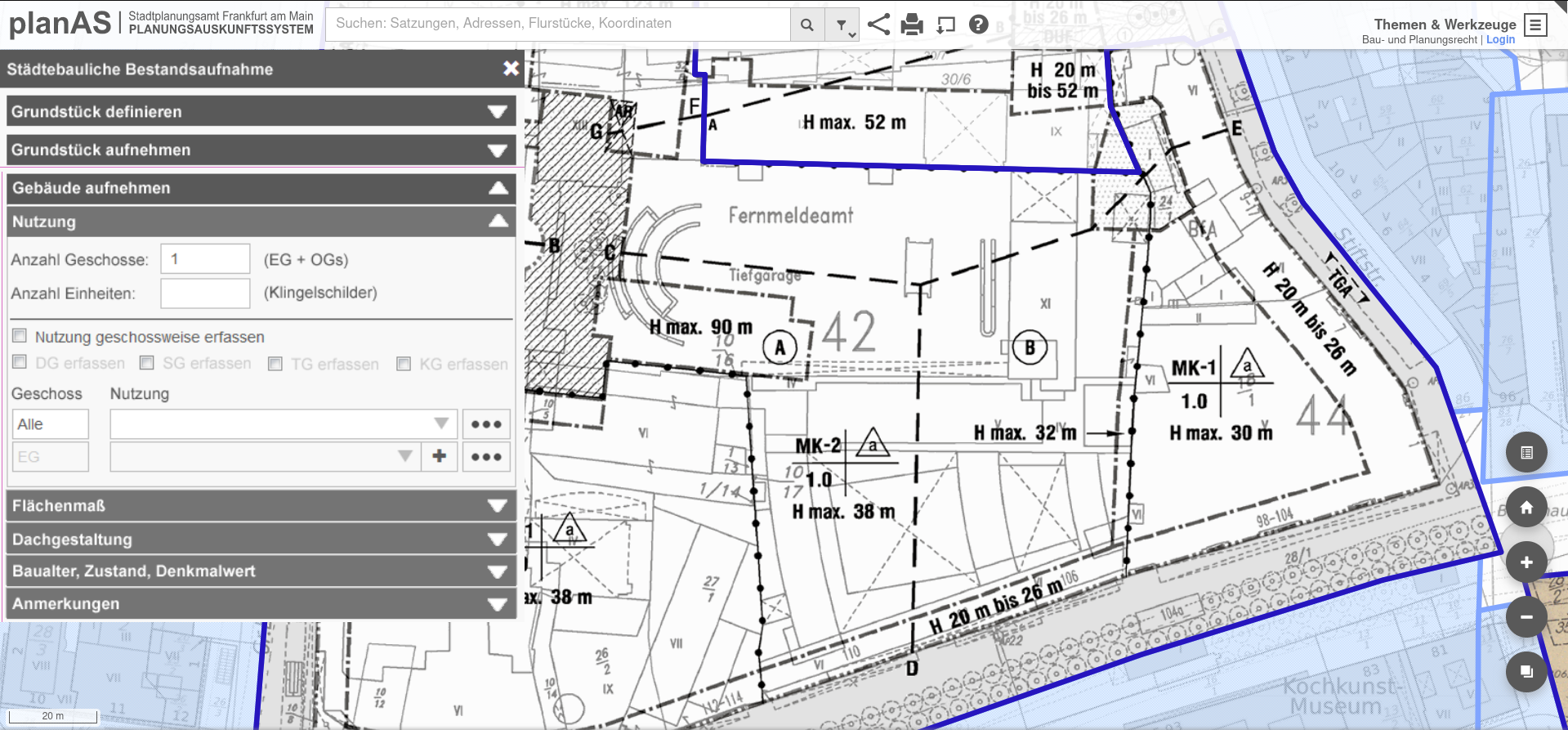
A publicly accessible planning information system that demonstrates how the QWC enables comprehensive use in municipal applications through tailored content and specialized map tools – whether as an information system for current planning law or as a tool for digital urban planning.
- Organizes planning information in a way that fits municipal processes and public-sector needs.
- Combines custom presentation, workflow orientation, and project-specific functionality.
- Illustrates how the same platform can scale from narrow use cases to broader city deployments.
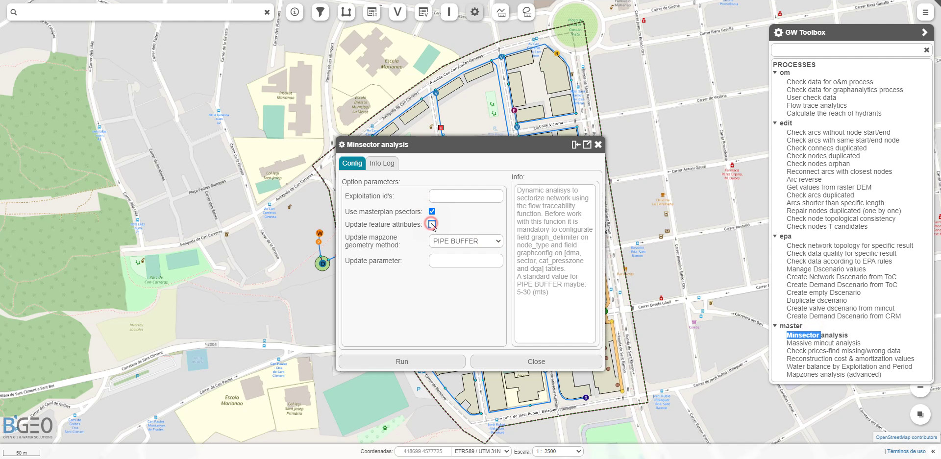
A domain-specific solution for water cycle management, integrating GIS with operational workflows for utilities and infrastructure management.
- Combines spatial data with asset management, maintenance and operational processes.
- Provides a tailored interface for managing complex water infrastructure systems.
- Demonstrates how QWC can support specialized, process-driven applications beyond generic mapping.
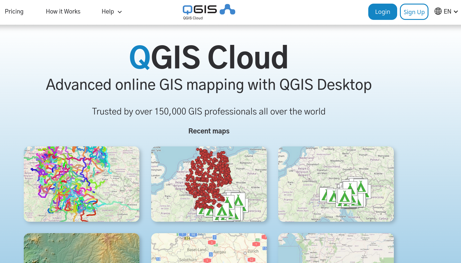
A lightweight cloud-based platform for publishing and sharing QGIS projects on the web with minimal setup.
- Enables rapid deployment of maps and data without managing infrastructure.
- Integrates directly with QGIS for seamless publishing workflows.
- Shows how QWC can power simple, accessible web GIS solutions as well as more advanced deployments.
